Related Articles


06-06-2026
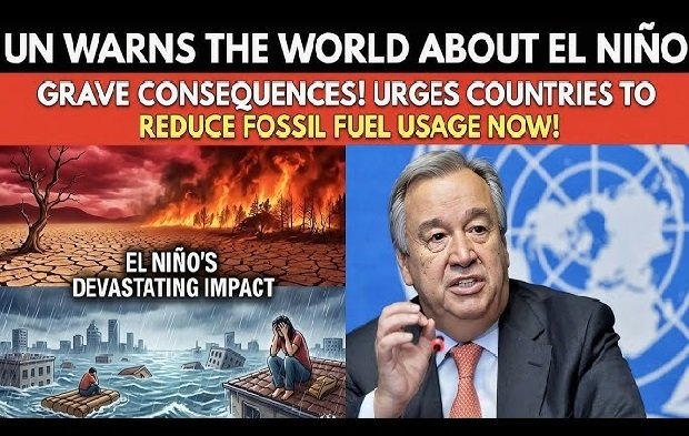
NEW YORK: A new phase of the natural El Nino weather pattern could begin in a matter of weeks, the UN has warned, boosting temperatures on a planet already under strain from climate change.
The World Meteorological Organization said this El Nino is likely to strengthen over the rest of 2026, driving more extreme weather around much of the globe.
 Several forecasts from national weather agencies suggest it could end up as one of the strongest ever recorded, a possible so-called “super” El Nino.
Predicting the exact timing and strength of El Nino can be challenging, and scientists have been watching conditions in a tell-tale region of the central Pacific for clues.
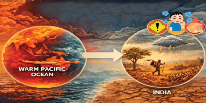
El Nino forms when a switch in wind patterns allows warmer waters to spread across the tropical Pacific Ocean and while an El Nino event had been anticipated, many scientists believe this one could be unusually powerful.
“We’re very confident that there’s a big event coming,” said Prof Adam Scaife, head of monthly to decadal prediction at the UK Met Office. “It may even be a record event.”
Part of the reason why scientists expect a strong El Nino lies deep below the ocean surface.
Data from satellites, buoys and ocean floats indicate a huge wave of unusually warm water more than 6C above average in places creeping eastwards across the Pacific, hundreds of meters deep.
The warmth of these waters “rival(s) some of the strongest El Nino events we have seen”, said Michelle L’Heureux, a physical scientist at the US science agency NOAA’s Climate Prediction Center.
That deep-sea heat is often a precursor to warmer waters at the surface which then heat the air above, helping to disrupt weather patterns worldwide.
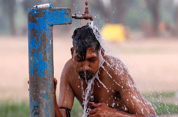
“El Nino conditions will pour fuel on the fire of a warming world,” said UN secretary general António Guterres. “Impacts will hit even harder, travel even farther, and cross borders with devastating speed.”
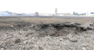
 No two El Nino events are the same, and different places can be affected at different times of the year but a strong El Nino typically fuels hot, dry weather in parts of South America, South East Asia and Australia, raising the chances of droughts and wildfires. It can also weaken the Indian monsoon and bring drier conditions to northern parts of the Greater Horn of Africa – while heavier rainfall can increase the risks of flooding in the southern US.
El Nino can even increase the chances of a mild start and cold end to UK winters although its links with weather in north-west Europe are not as strong.
Past events have been linked to spikes in food prices and hundreds of billions or even trillions of dollars in lost income globally, as crop failures and trade disruptions ripple through supply chains and economies.
As El Nino typically peaks in strength around Christmas time, it is impossible to know for sure that it will be a record-breaker with months still to go.
El Nino is very sensitive to wind patterns, for example, which are difficult to predict far in advance, “the biggest wildcard” for El Nino, according to L’Heureux but even if El Niño falls short of “super” territory, the consequences could still be extreme.
That is because we have never experienced El Nino on a planet already so hot from human-caused climate change.
The year “2027 is very likely at this point to be the [world’s] warmest year on record,” said Zeke Hausfather, a climate scientist with the Berkeley Earth group in the US.
In 1998, the world had “an incredibly strong El Nino event and an incredibly hot year for the time”, he added. “If (that) happened today, it would be an incredibly cold year compared to the last two decades.” (Int’l News Desk)