08-01-2025
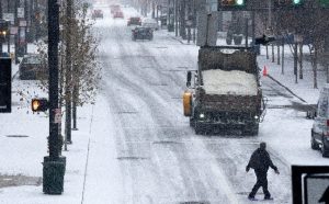
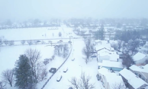
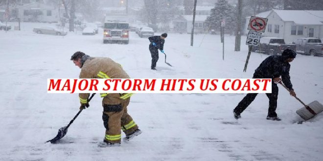
WASHINGTON: A huge winter storm brings heavy snowfall and freezing temperatures to the east coast of the US, as a state of emergency has been declared in seven states.
In Washington DC, isolated areas could see up to 16 inches of snowfall, according to the National Weather Service, as Maryland is also facing a major impact from accumulated snow.
 The city is poised to host a US Congress meeting to formally certify Republican Donald Trump’s election as president.
More than 1,300 flights have been cancelled this morning due to heavy snowfall, with at least three inches of snow accumulating at Washington DC’s Raegan National Airport. Forecasters say the extreme weather is caused by a polar vortex an area of cold air that circulates around the Arctic bringing cold weather to the central US.
Snowfall has already exceeded four inches (10cm) in some storm-affected areas on Monday morning, the US National Weather Service (NWS) reports.
In Woolsey, Virginia, 5.2in of snow was reported, while in La Plata, Maryland the figure was 4.2in. In its latest bulletin at 07:51 GMT, the NWS warned that the storm would “produce 6-12 in of snow across the Mid-Atlantic, including the Washington, DC metro area.
“An additional 2-4 in of snow will fall across portions of the Ohio Valley and Central Appalachians, where travel disruptions will continue,” the NWS added.
A winter storm, named Storm Blair, making its way eastwards across the US has triggered a state of emergency in seven states Kansas, one of the worst-hit areas, Missouri, Kentucky, Virginia, West Virginia, Arkansas and parts of New Jersey.
In Washington DC, snowfall could accumulate up to 16 inches in some isolated spots, as sleet and freezing rain is forecast, the city is poised to host the certification of the presidential elections results today.
 Weather experts say the storm has been caused by a Polar Vortex when very cold air that’s normally locked up around the Poles is disrupted, and brings cold weather south. Forecasters predict the storm could see the heaviest snowfall and coldest temperatures since 2011.
The freezing cold temperatures and heavy snowfall have brought school closures, travel disruption and hypothermia warnings in some parts of the US.
As we’ve just reported, parts of Washington DC could face up to 16 inches of snow accumulation as heavy snowfall continues this morning.
The winter storm is working its way eastwards across the US, with a potential major impact of snowfall on the east coast, in Washington and Maryland.
A moderate impact of snow is forecasted for parts of Virginia and West Virginia, while Kentucky, Missouri and Kansas will face a minor impact from snowfall.
In Baltimore and Washington DC, periods of heavy snow are continuing this morning, with some sleet and freezing rain forecast.
Weather alerts predict that the heavy snowfall could result in snow accumulations of 5 to 10 inches, with up to 16 inches of snow possible in isolated spots.
The National Weather Service for Baltimore-Washington, says by late morning a lull in the snow will come into place, before picking back up by the evening.
Washington DC schools have been closed this morning, as Mayor Muriel Bowser declares a snow emergency to last until the end of Tuesday.
Ronald Reagan Washington National Airport has seen several hours of heavy snow, with at least three inches of snow accumulating at rates of around an inch per hour, according to The Washington Post. (Int’l Monitoring Desk)
 Pressmediaofindia


