30-11-2024
JERUSALEM/ GAZA CITY: Israel is creating a new military dividing line in Gaza, separating off the far north of the strip, satellite images studied by BBC Verify appear to show.
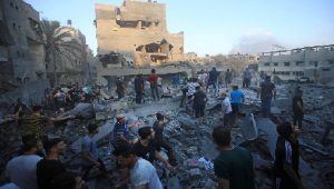
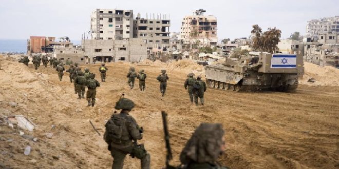
Troops are in control of, and are clearing, an area across the width of north Gaza. Satellite images and videos show that hundreds of buildings have been demolished between the Mediterranean Sea and the Israel border, mostly through controlled explosions.
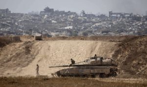
 Images also show Israeli troops and vehicles have been stationed across the new divide. Analysts said the images suggest Gaza is being split into zones to make it easier to control.
An IDF spokesperson told the BBC it was “targeting terrorist operatives and infrastructure” in north Gaza.
Dr H A Hellyer, a Middle East security expert from the Rusi think tank, said the satellite images suggested Israel was preparing to block Palestinian civilians from returning to the north Gaza governorate. More than 100,000 people have already been displaced from the far north of Gaza, according to the UN.
Images appear to show two long sections of road on either end of the strip being connected by cleared land through an urban area. Buildings are being demolished between the two sections of road, with a clear pattern visible since early October.
This partition stretches about 5.6 miles (9km) across Gaza, from east to west, dividing Gaza City and the towns of Jabalia, Beit Hanoun and Beit Lahia in north Gaza.
The BBC has been told that there is a tactical route between Jabalia and Gaza City, which is part of operational activities targeting Hamas in Jabalia.
Videos filmed by the IDF and posted online show several multi-storey buildings being destroyed in controlled explosions since the beginning of October.
The graphic below shows examples geolocated by BBC Verify along the new corridor. An IDF spokesperson told the BBC that it had no intention of destroying civilian infrastructure “without operational necessity” to neutralize Hamas.
 Other footage shows IDF Humvee vehicles being driven through the cleared area from the direction of Israel. Humvees are not as heavily armoured as other military vehicles and Dr Hellyer told the BBC that they were unlikely to be used unless the military was confident about their safety, indicating that Israeli troops are in control of the area.
Some analysts believe the IDF’s presence could indicate a permanent military partition giving it control of who can travel between the Gaza and the North Gaza governorates. Dr Hellyer said of the IDF: “They’re digging in for the long term. I would absolutely expect the north partition to develop exactly like the Netzarim Corridor.”
The BBC has previously documented how two partitions have been constructed in Gaza since the start of the current war. The Netzarim Corridor splits an area south of Gaza City, while the Philadelphi Corridor gives the IDF control of land running the length of Gaza’s border with Egypt.
BBC analysis of this new partition in the north shows a similar pattern to the construction of the previous corridors over the past year, with existing and newly built roads being connected and military positions emerging at regular intervals. Buildings and agricultural land are cleared so roads can be paved and military infrastructure built. Dr Eado Hecht from the Begin–Sadat Center for Strategic Studies (Besa), an Israeli think tank specialising in national security and foreign policy, agreed that the data showed a new dividing line, but questioned whether it was designed to be permanent. (BBC)
 Pressmediaofindia


